Kyle Nessen
Projects
About
Projects
About
How Low Can You Go?: Testing the Limits of Drone Mapping Overlap
Posted February 28th, 2023 by Kyle Nessen
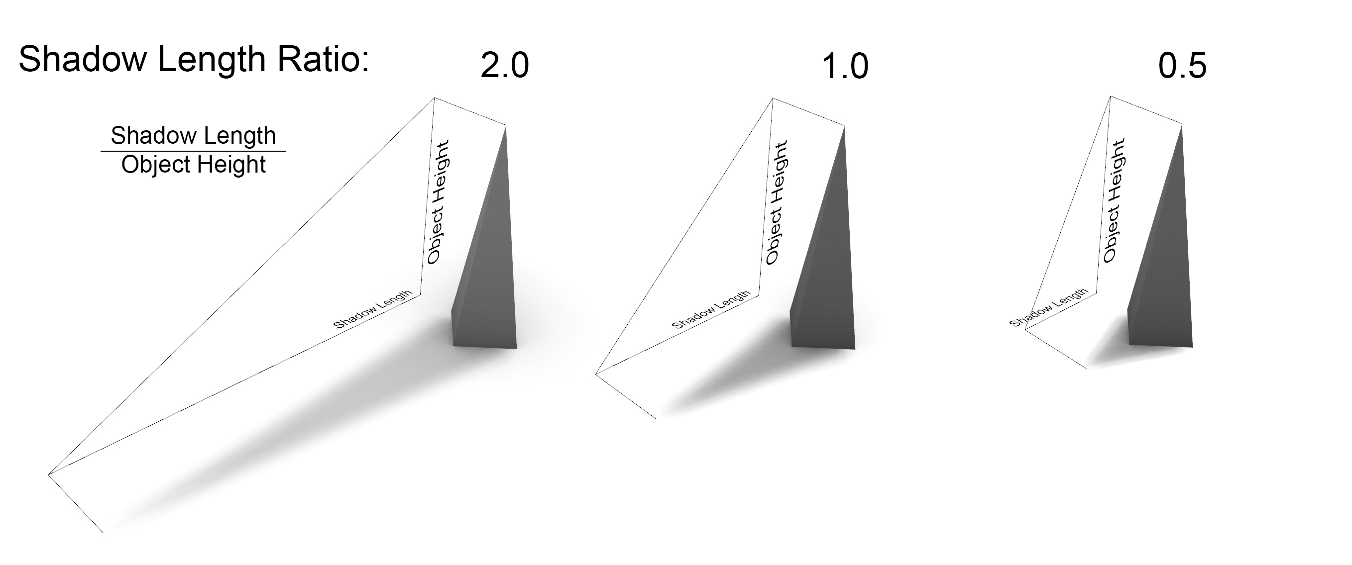
Shadow Length Calculator